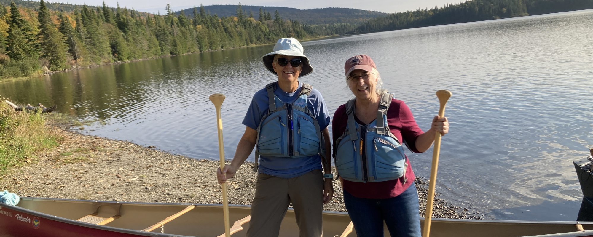
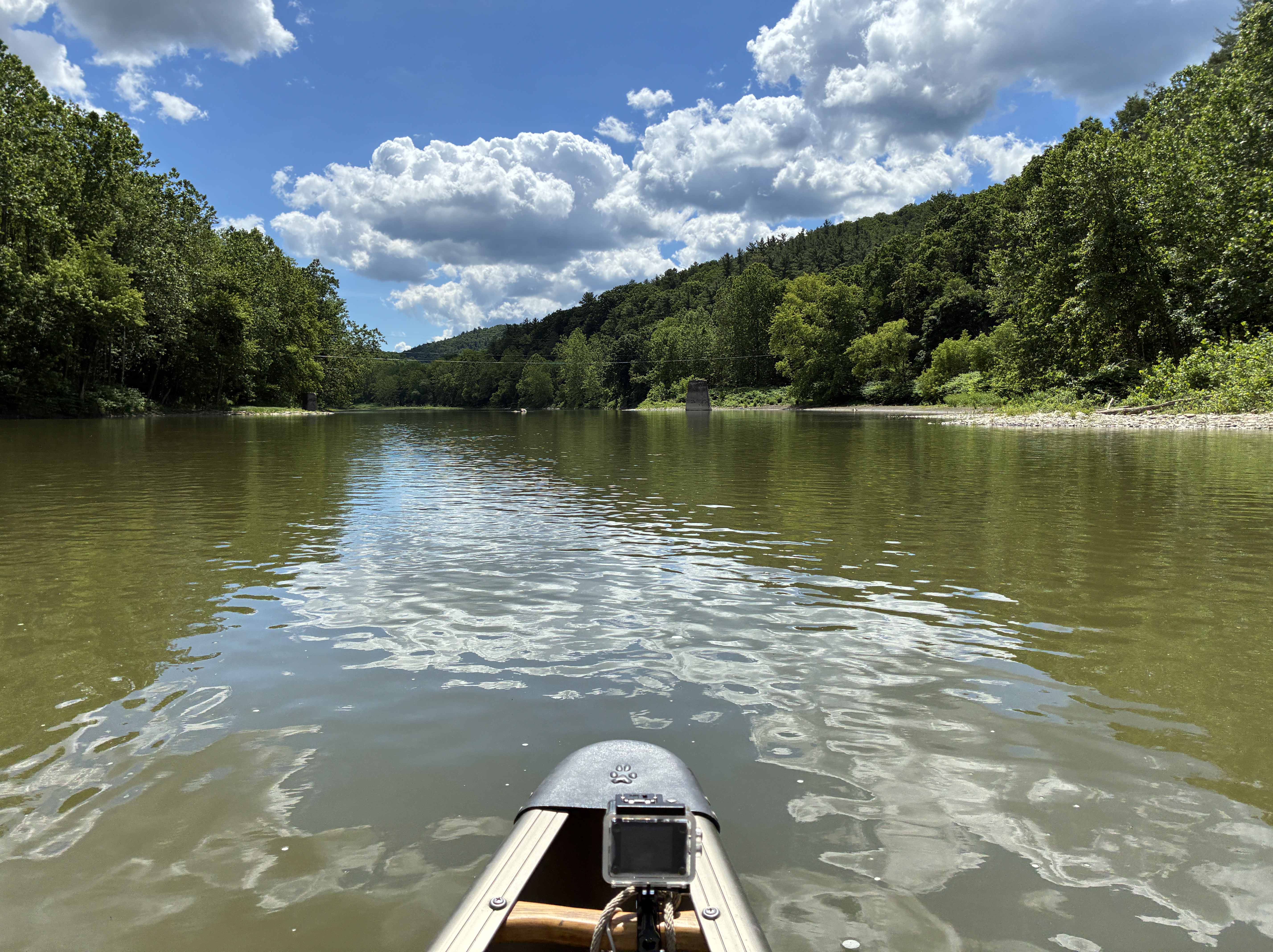
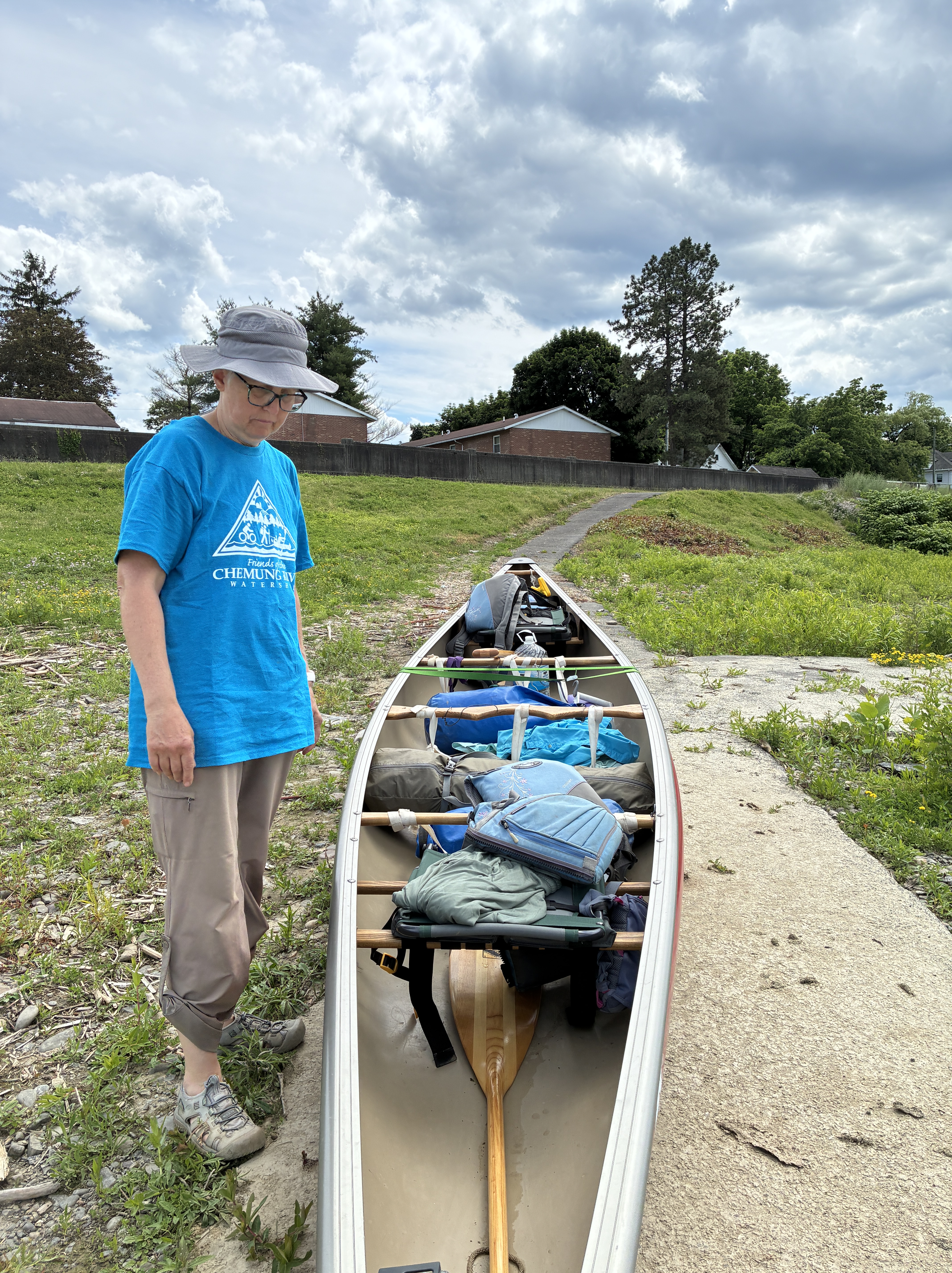
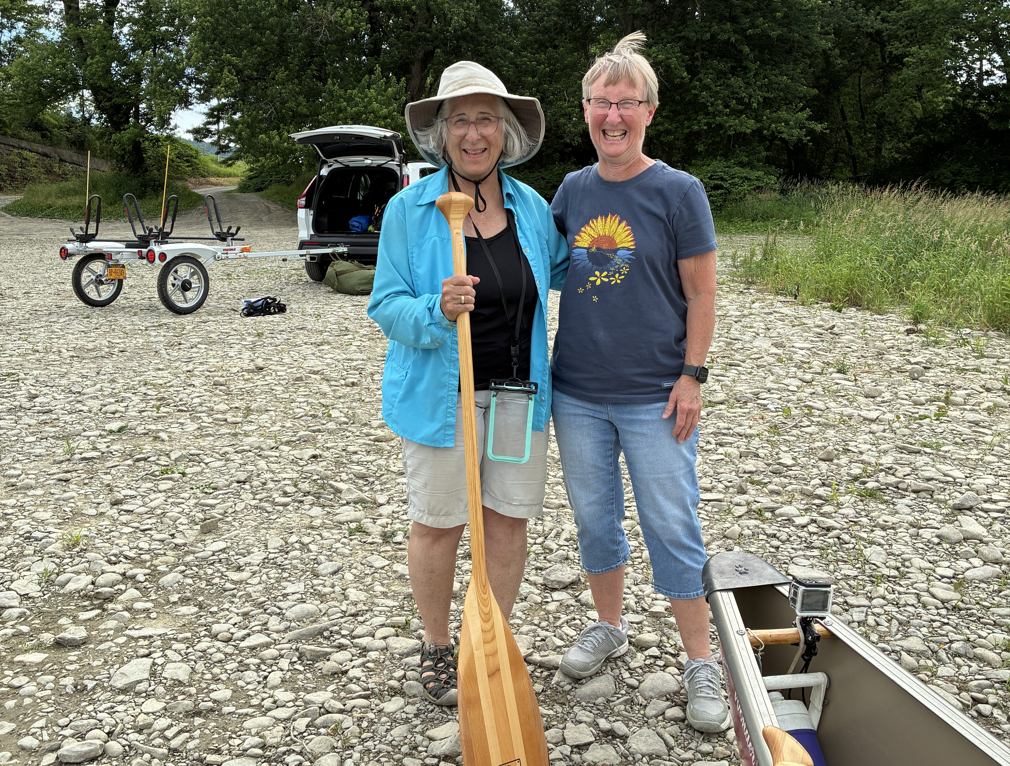
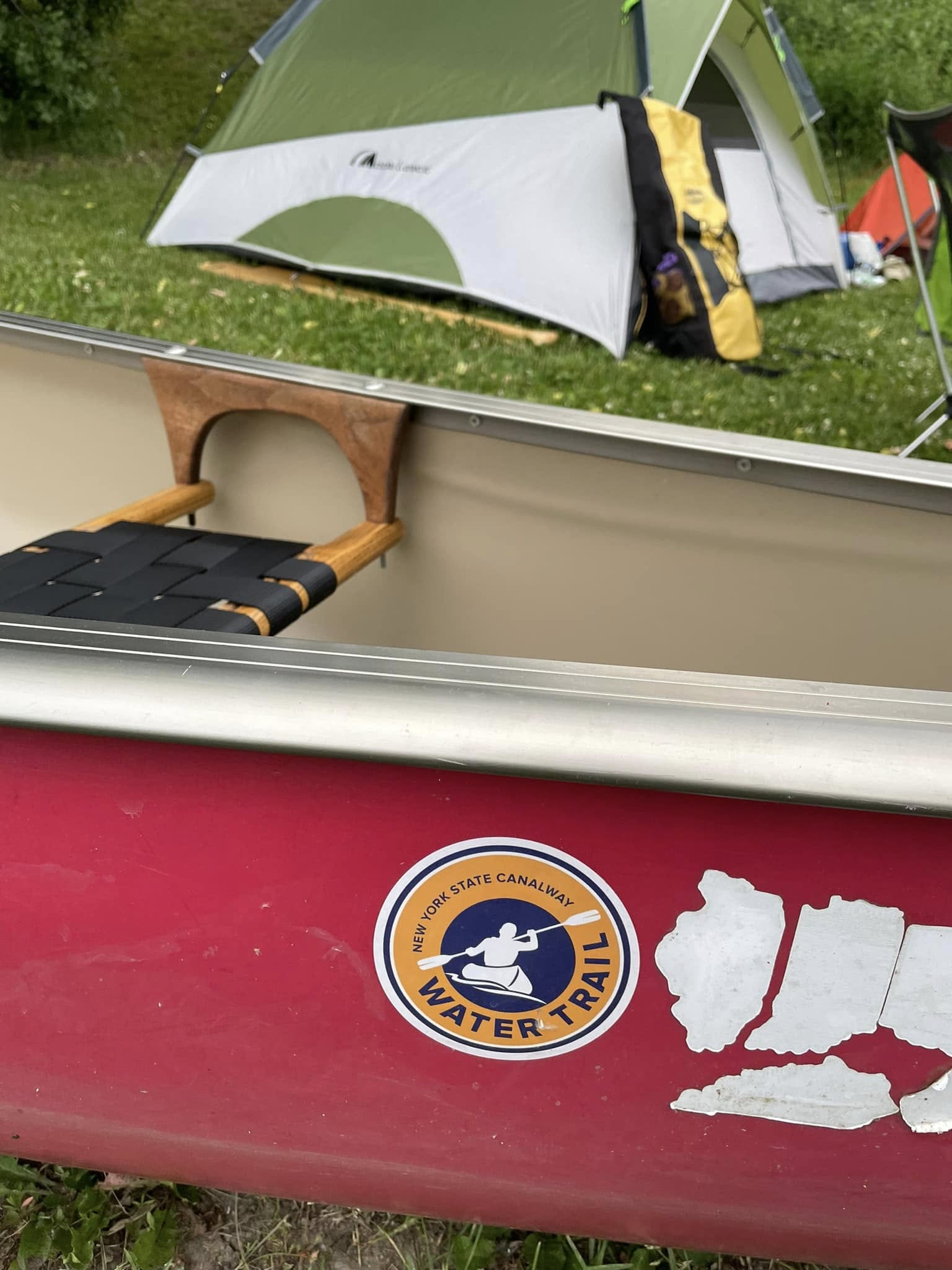
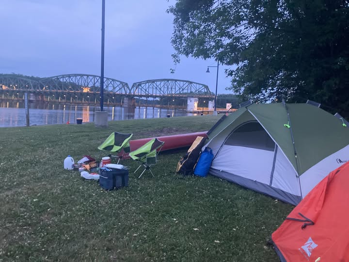
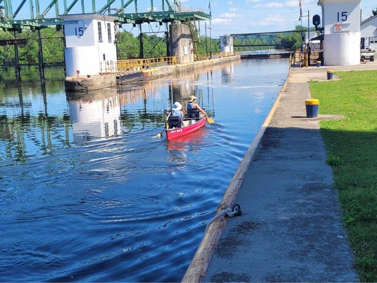
Karen and I chose a different sort of paddle this year. Not as long as we have in the past. And in a place that is dear to me: The Chemung Valley of the Southern Tier of New York State. We enjoyed three days on the Chemung River starting in Addison, NY, and making our way to Athens, PA, where the Chemung meets the Susquehanna River. A total of about 55 miles. We paddled another five miles on the Susquehanna to the next boat access point, five miles that we had paddled a few years ago as part of our four-year journey on the Susquehanna from Cooperstown, NY, to the Chesapeake Bay. And we hit some of the same headwinds that reminded us how difficult some of the larger rivers can be to navigate! We don’t tend towards paddling the same waters more than once but the need to find a spot to get out overtook that. Too many rivers left to repeat any of them!
The weather was great during the day. It was too cold for my sleeping gear in the evenings. Lesson learned there. I will invest in new equipment and remember my long underwear next time, regardless of the weather forecast. The scenery was as beautiful as ever we find on our river trips.
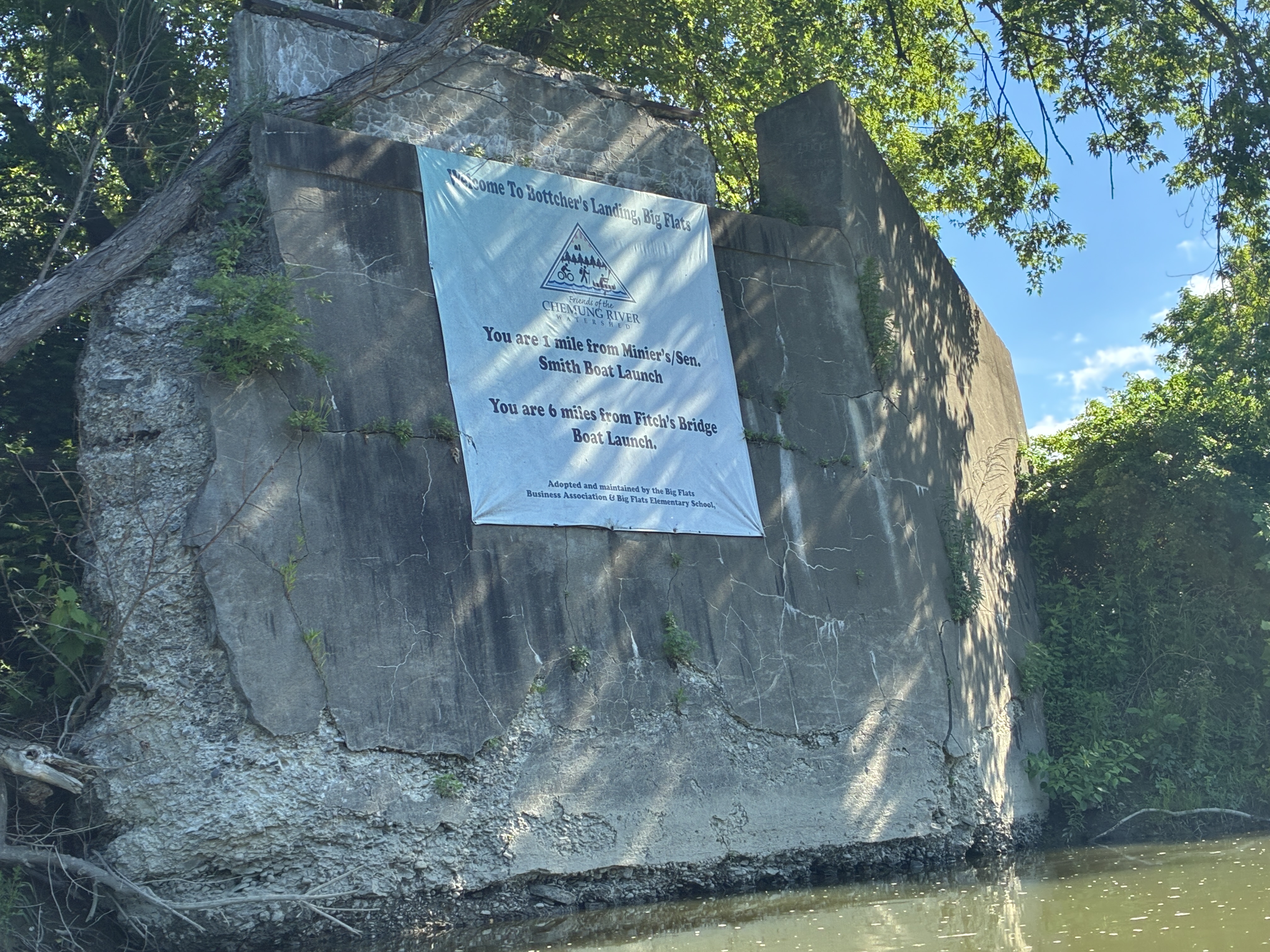
The nostalgic aspect of this trip was strong. Born in 1956 in Elmira, NY, which straddles the Chemung River, memories flowed back to me as we approached the city. Bottcher’s Landing is a river access point now, and I recall back in the day it was a farm and farmstand where my mom would go for flowers and/or vegetables.
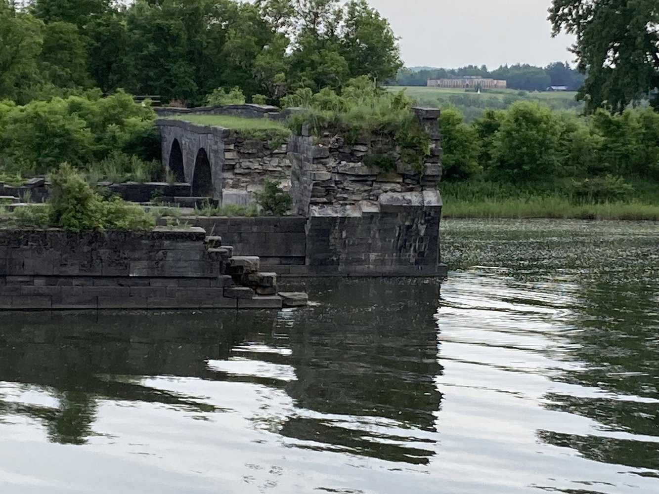
And what was that park that was accessed by trolley? Boom, the memory came back: Rorick’s Glen. It had been an amusement park and entertainment center for a couple of decades at the start of the 20th century. It was long gone when I was a child, but we still managed to get over the old wooden bridge and spook around. Nothing remains of the bridge but the abutments.
Bottcher’s LandingOld Abutments
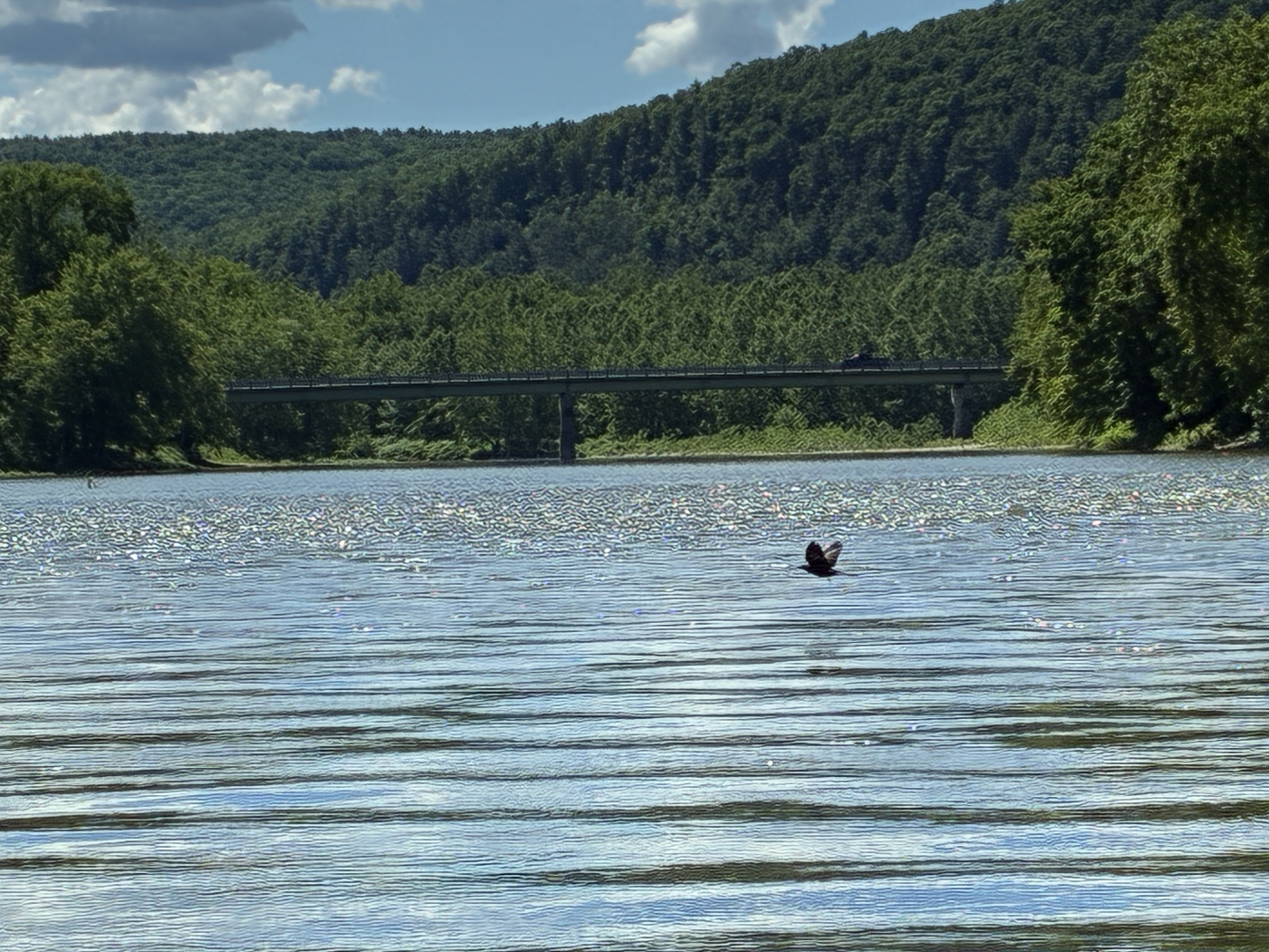
Paddling towards West Elmira where our house was, we passed under Fitch’s Bridge, one of the many bridges connecting downtown Elmira and its Southside. My mother used that bridge to “relocate” the squirrels she trapped in her yard. It was a never-ending job! Speaking of my mother, Mary, I had a chance to reunite with her Goddaughter and my friend who lived next door, Mary Marsden. By chance we were both in the area and it was fun to include her in this year’s journey.
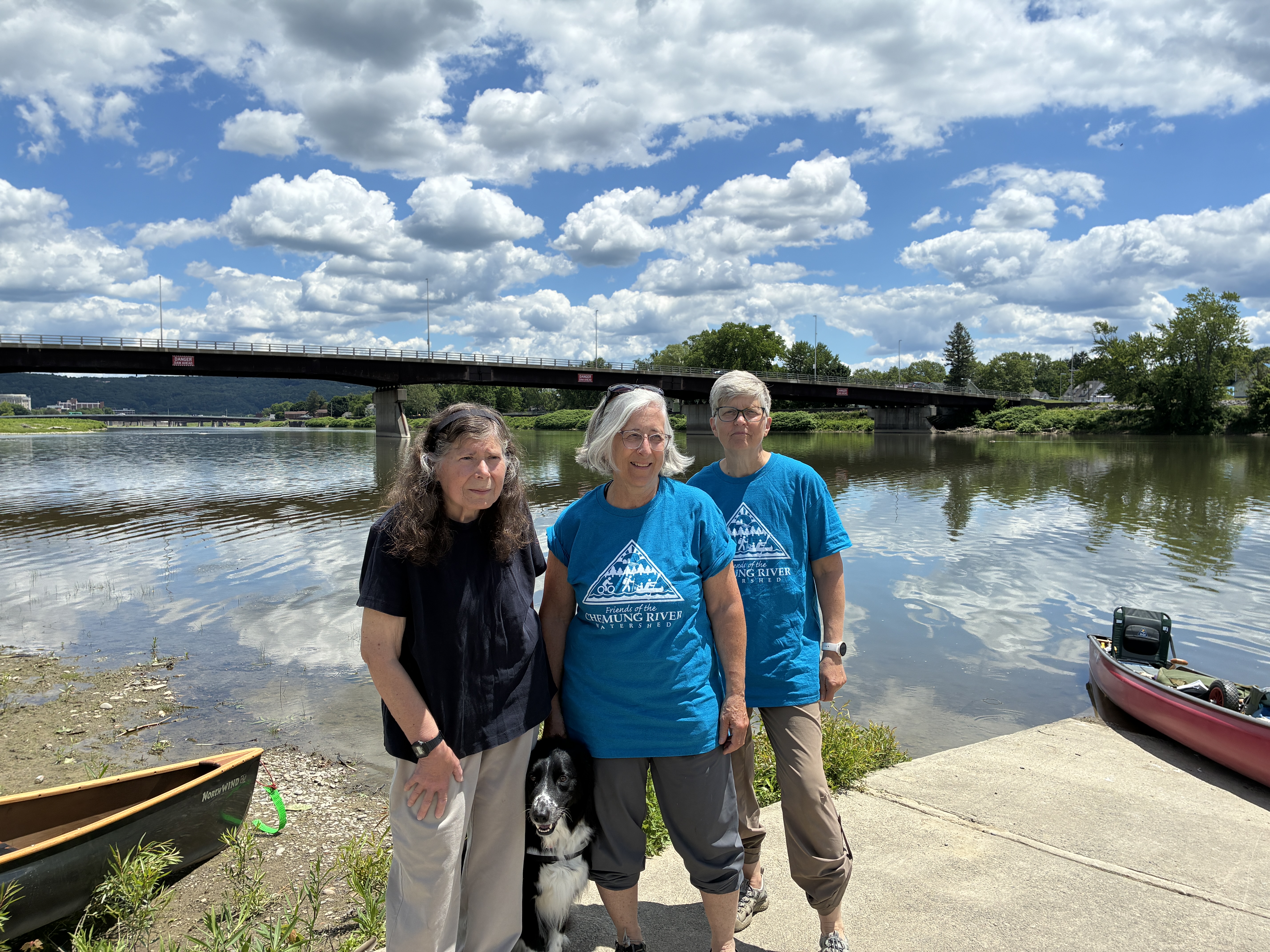
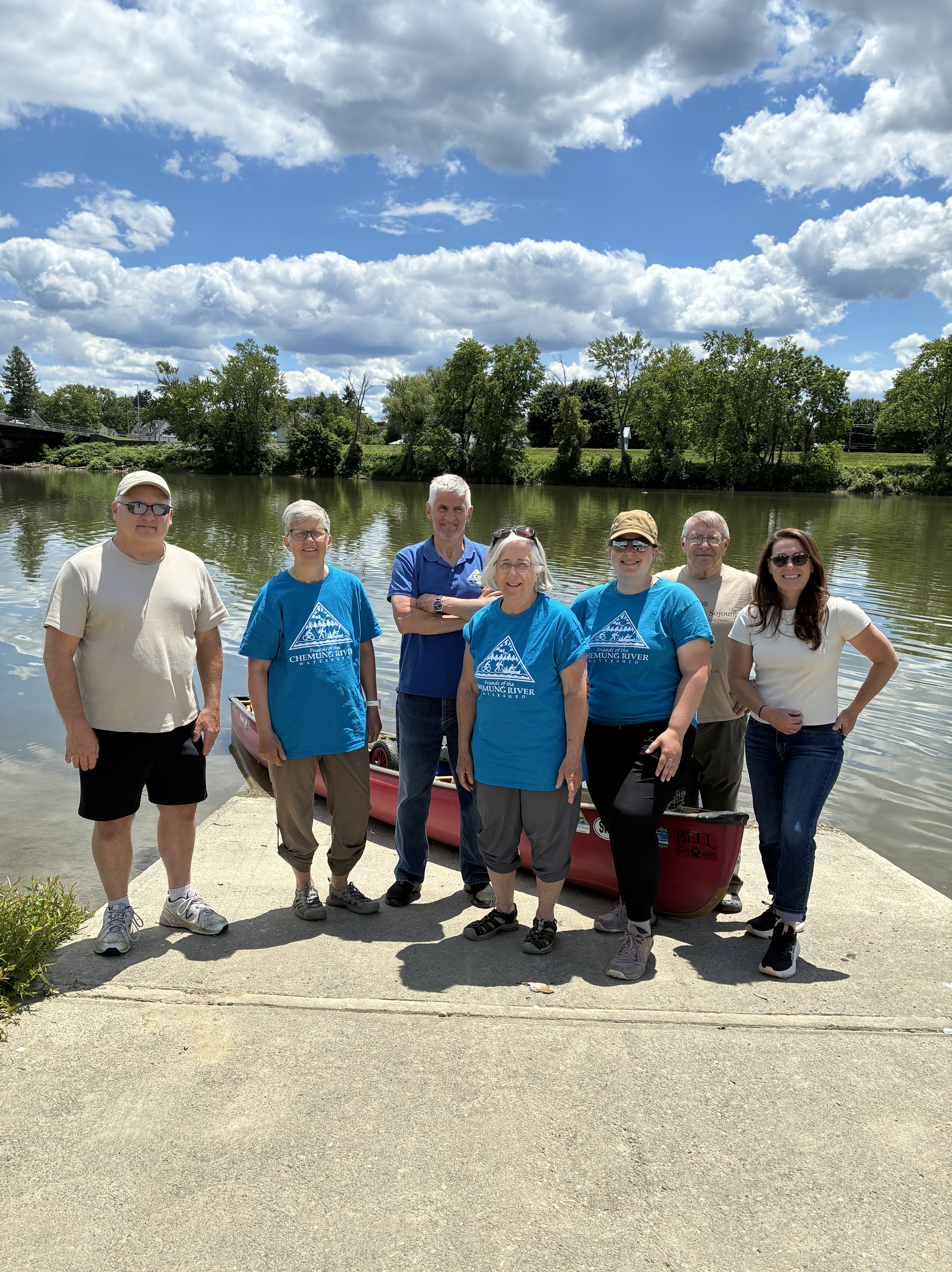
Fitch’s BridgeMary, Maggie, KarenNew friends with Friends of the Chemung River Watershed
A special highlight of our trip was meeting up with the Friends of the Chemung River Watershed. Not only did they meet us, but they brought along two TV stations who interviewed us. It was our 15 minutes of fame and a great way to help the cause of the river! Each took a different slant on our story. One (WETM) was focused on the river. The other (WENY) focused on these old women paddling our hearts out! We laughed as we listened! We were in the local Star Gazette as well.
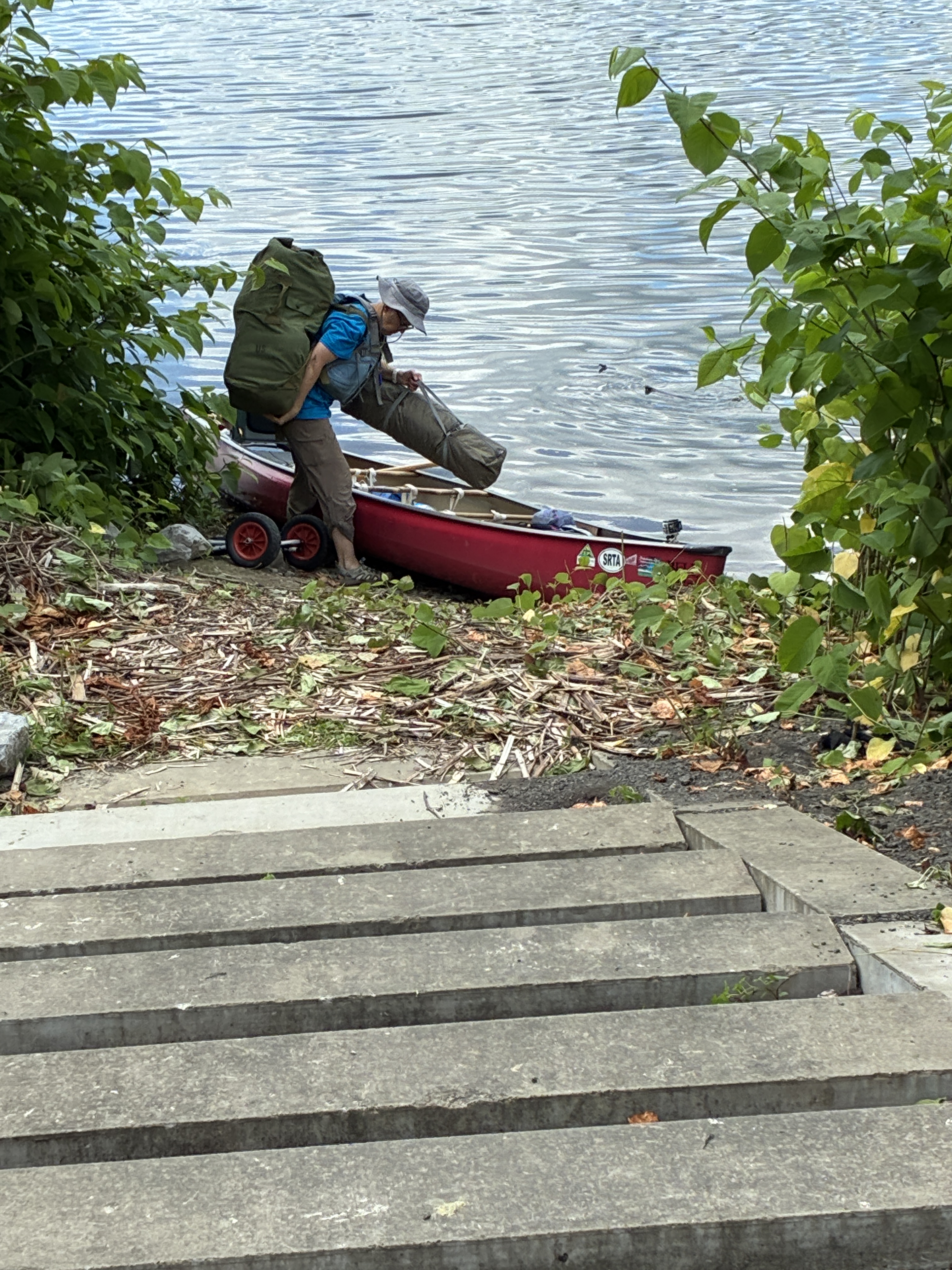
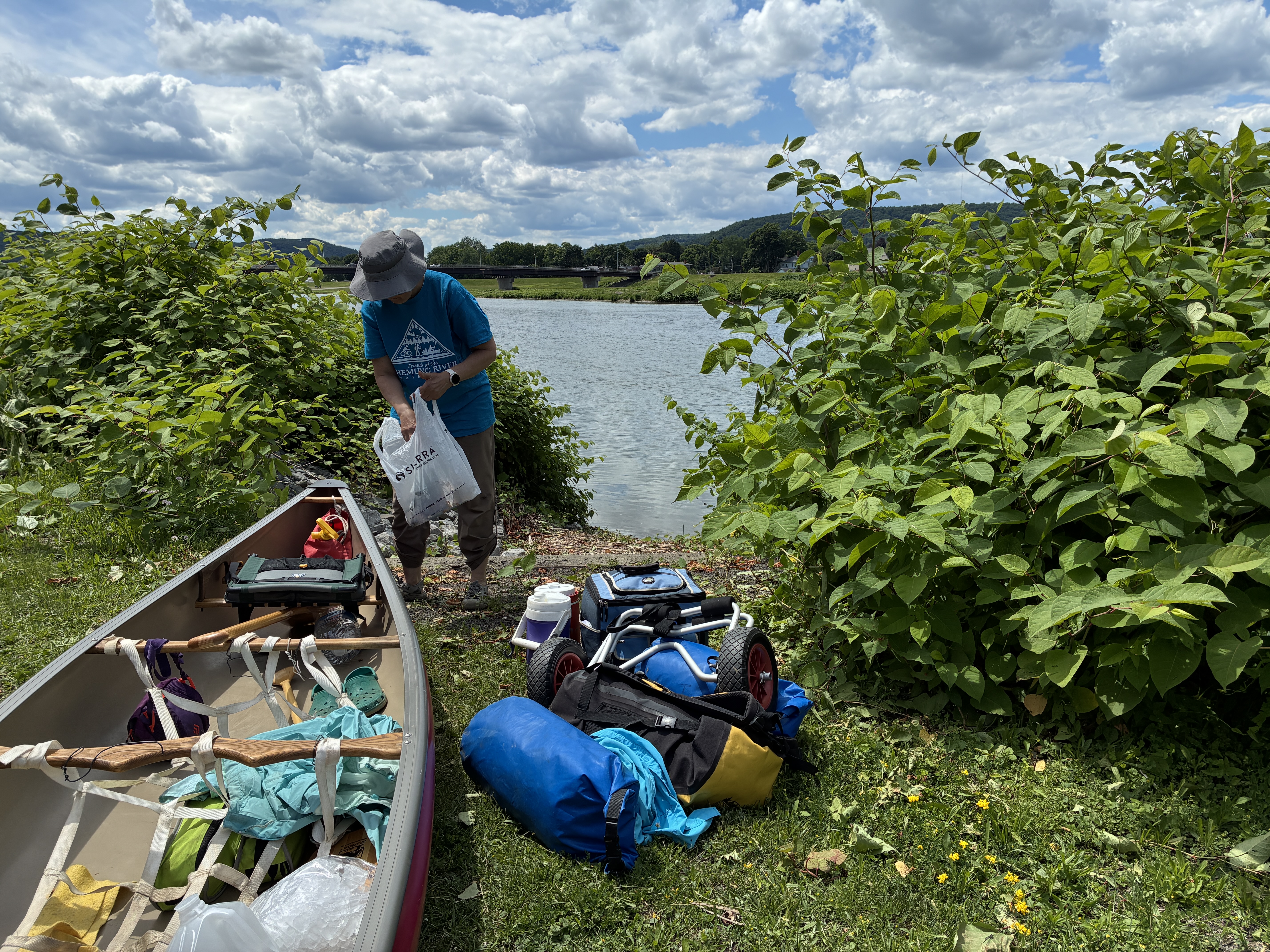
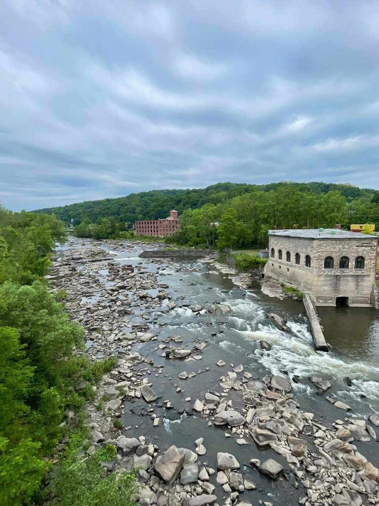
The dam in Elmira was our only portage this year. Our new friends had cleared out the spring growth (nasty knotweed that overtakes indigenous plant) the day before so that we could pull up the gear and the canoe and get it around the dam. The dam creates a pool of water that is treated to become the drinking water for the city. The portage is very near where my parent’s first apartment was and where my sister came into this world.
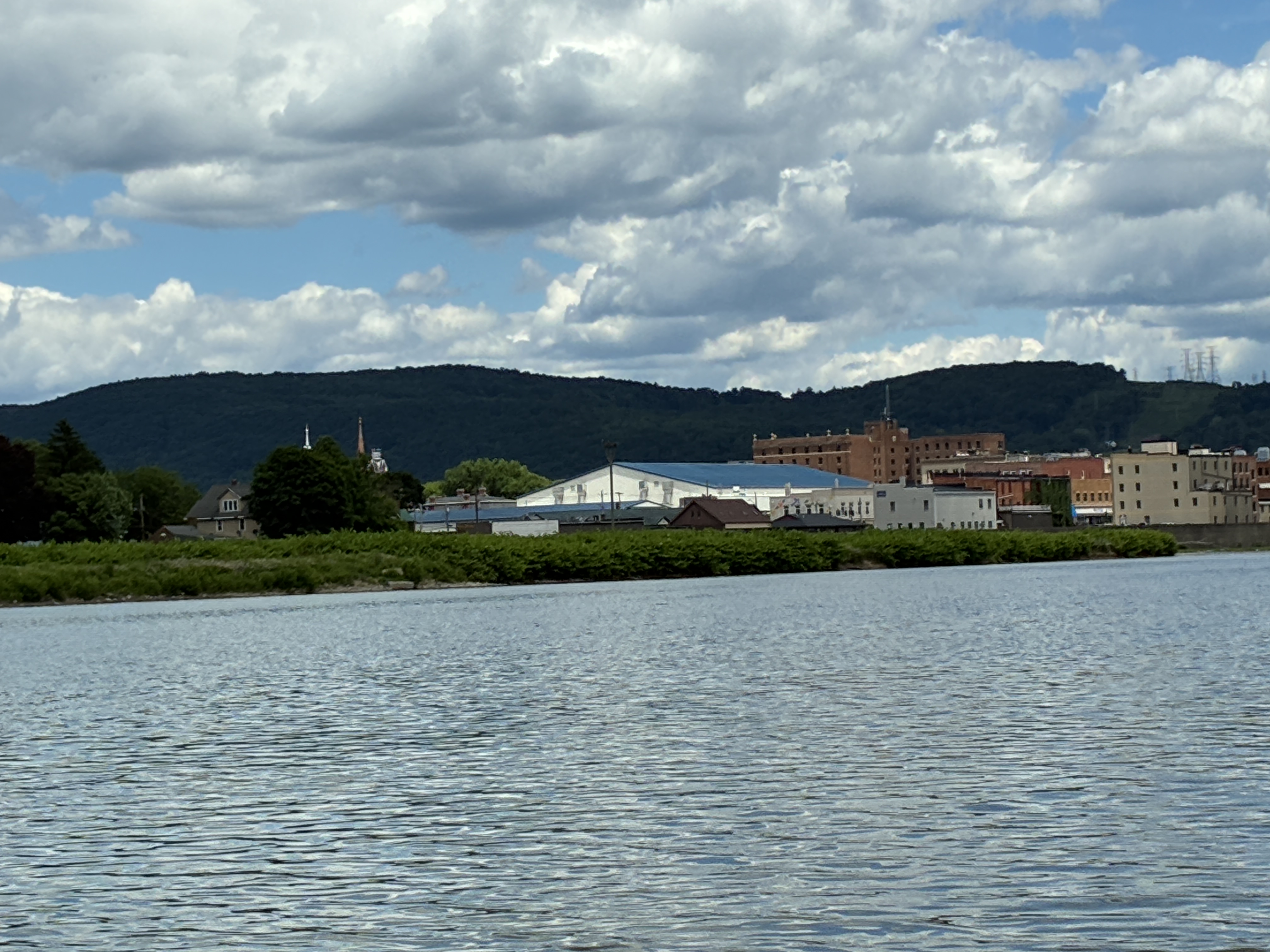
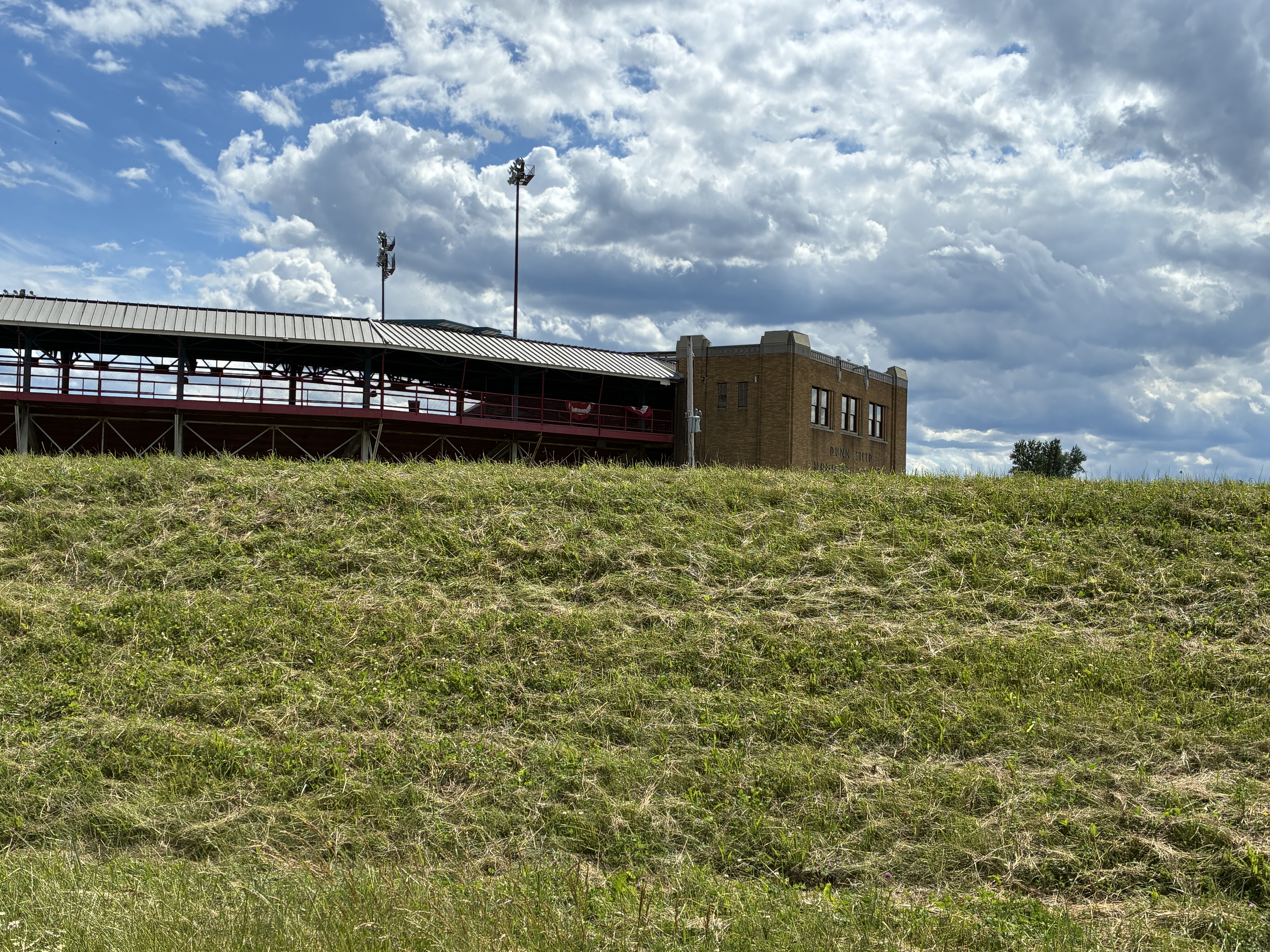
Skyline of Elmira, now minus the roofline of my home church which burned to the ground in February 2025. Dunn Field, Elmira’s Minor League field and where my high school graduation took place in 1974 with a streaker crossing the field as people were leaving!
As we paddled out of downtown Elmira, we approached Dunn Field, forever emblazoned in my mind not for my high school graduation but for the streaker who stole the show at the end! My first of two streaker spottings in 1974
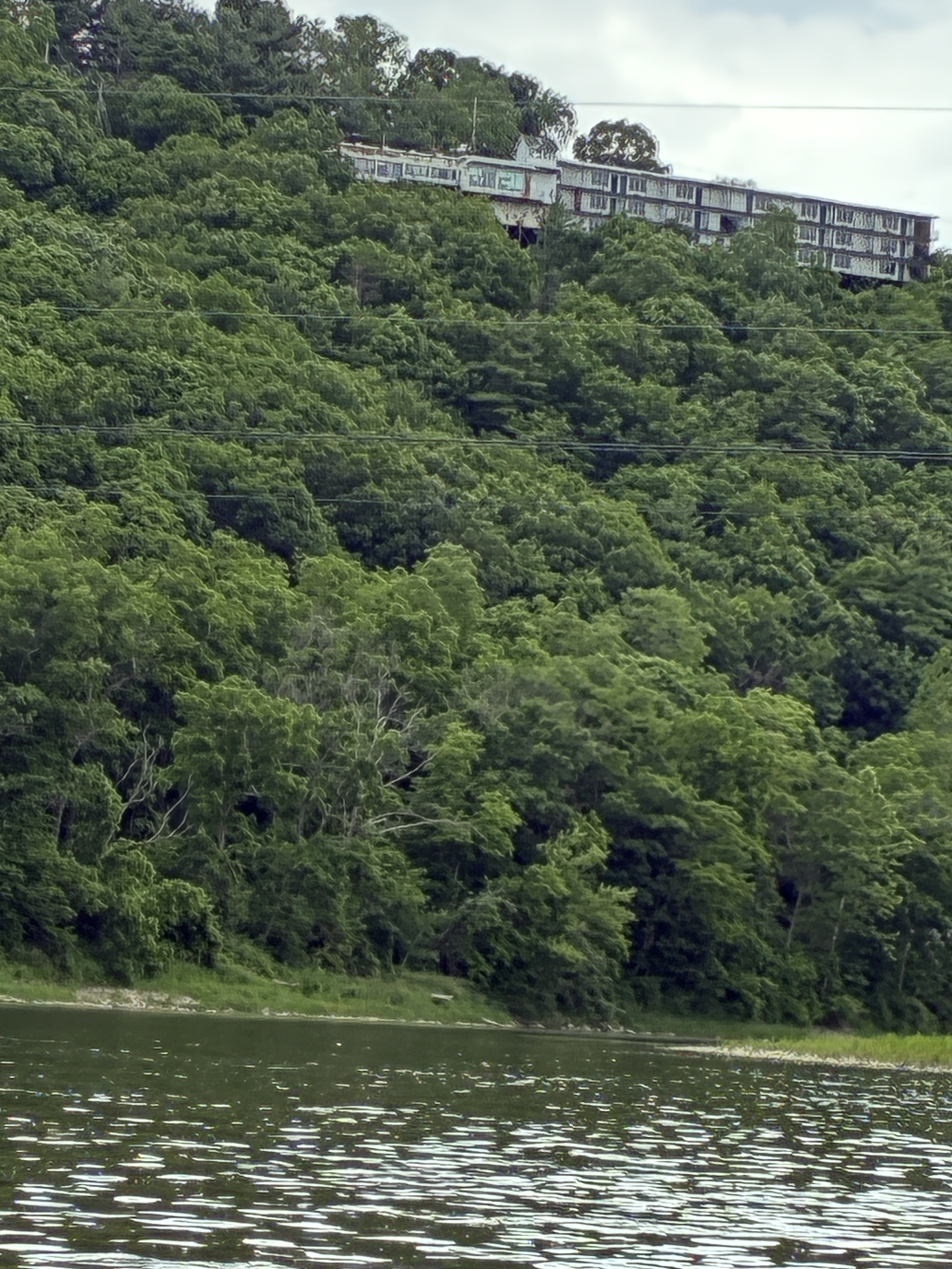
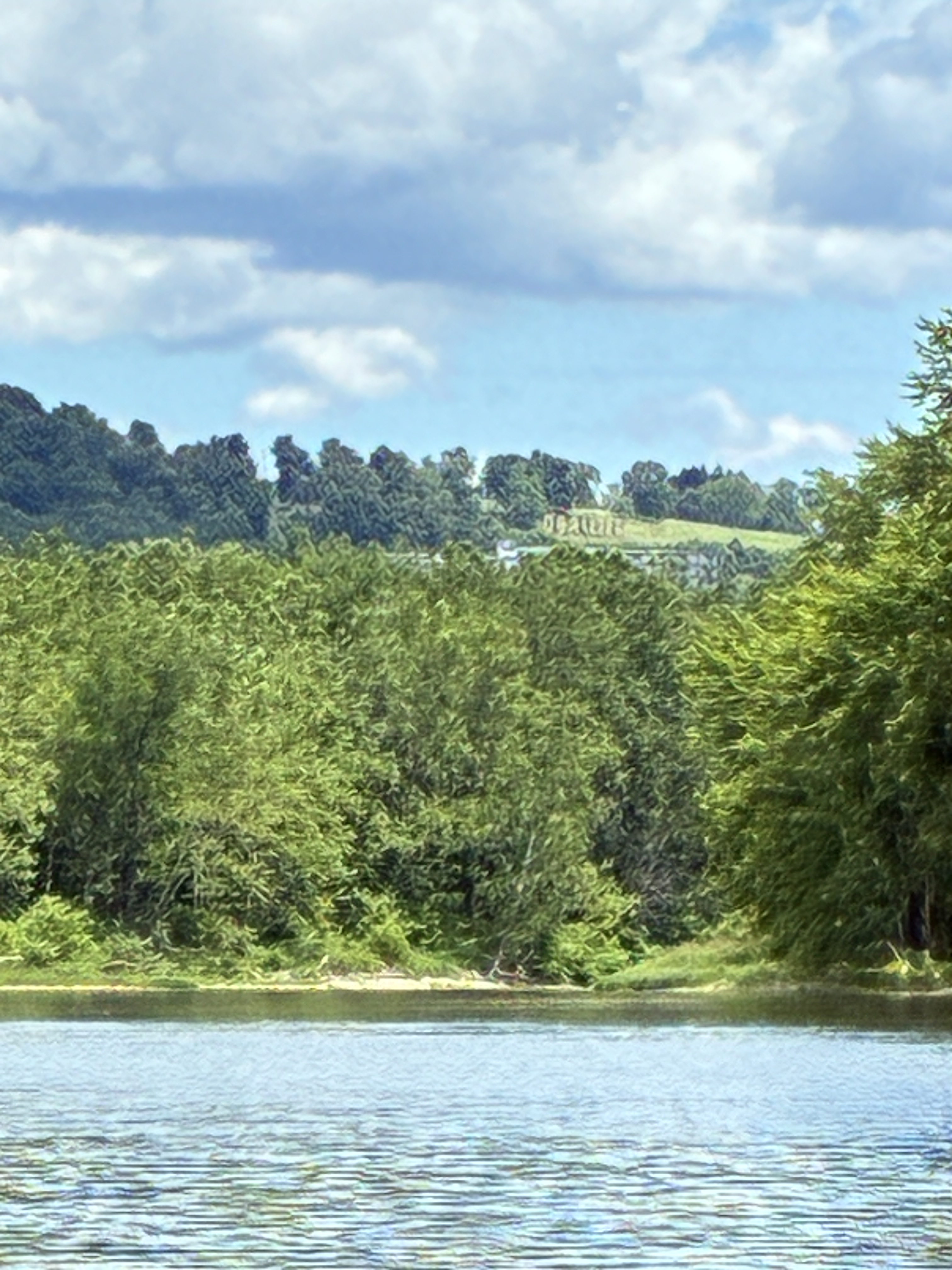
The derelict hotel and restaurant is where we would go with our grandparents. It overlooks I86.Way up on the hillside O’Brian’s was once a great place to stop on the old road to New York City, before the interstate was built.
Winding beneath the remains of the hotel that used to be on a main road, we made our way from the nostalgia of the Elmira area toward Waverly where the river dips into Pennsylvania, heading to the Susquehanna. At that point it was back to things as usual on the river: beautiful scenery, heron, osprey, eagles, turtles…and even a two-foot-long water snake which Karen spotted just as I put my feet in the water on either side of the canoe! Needless to say, I pulled my feet in quickly and never saw the snake slithering off.
Elmira is behind me now, literally and figuratively. Much of what I knew growing up is gone. It remains a river town, with all the challenges and hospitality that we have experienced on every river we have paddled.
One last bit of nostalgia: Kim, who Maggie met in elementary school 60+ years ago, was our river angel who came to fetch us at the end of our trip and take us back to Corning where our cars were. I have only seen her twice since graduating from high school at the above-mentioned Dunn Field.
A year has passed since we paddled the bulk of the Connecticut River in 8 days. The river froze over this winter more that I had seen in our 11 years in Vermont. In many places it was flat ice that could be skated or walked on, unlike the choppy chunks I usually see due to freezing and thawing multiple times. This past winter in New England was mostly freezing! In fact, summer is having a hard time arriving. We still have temps in the 40’s.
But now the river is thawed and, crossing it many times a week to travel to Claremont, NH, I think fondly back to last year…even the night we thought we might freeze to death! I have actually paddled on it a couple of times this spring. Yes, I finally bought a used LL Bean kayak! I resisted getting a kayak for many years and for many unreasonable reasons. But the river and ponds of New England call to me and I want to get out more than once a year. And I treated myself in honor of entering my eighth decade of living as of my 70th birthday in April.
Now it is time to plan a new trip in a few weeks. However, I realized I never summarized last year in this blog! So, please click here to read some of the high points and low points of those two weeks!
Meanwhile we turn our paddles to a much smaller river though it is very significant. I grew up in Elmira, NY, which straddles the Chemung River, a short but stately little river that provided livelihood to Elmira for a few hundred years. Our family dates back to around 1800. But for all our history in that place, I have NEVER paddled the Chemung River. I find this fascinating and have pondered why. The best answer I can come up with is that in the mid to late 20th century, many of our rivers remained industrial. They were ugly and polluted. They were not seen as a place for recreation.
Fortunately, things have changed. People are studying the nation’s rivers and learning about them. Karen has become a volunteer with the PennState Extension Master Watershed Steward Program in Western PA…the watershed that fed our first 1234 miles of paddling. I have recently joined the Connecticut River Conversancy volunteers and have also learned about the Vermont Center for Ecostudies Loon Conservation Project. We do these things because we now have some time in our retirements and because we have learned how important our rivers are. So many people before us had to fight to clean up the rivers and create recreational opportunities. It feels good to help sustain some of that work.
So, on June 15th, we will meet at the headwaters of the Chemung River, somewhere near Hornell, NY. We will paddle the short 45 miles down to Athens, PA. Depending on our timing perhaps we will paddle of few miles on the Susquehanna River that takes the waters of the Chemung and deposits them eventually in the Chesapeake Bay.
Hopefully I will report that trip sooner than I did last year’s. Thanks for paddling along with us.
I am so rusty with my blog posting that I cannot even find where I posted the intro to our 2025 paddle down the length of the Connecticut River, so vital to the communities that have lived along it for millennia!
On Monday, May 19th, Karen and will put in at Canaan, VT. Preparing for this trip has been different for a few reasons. For one, we have never paddled a river that one of us has lived near at the time. I once lived near the Susquehanna which we travelled a few years ago but at the time had no interest in the river. Now I cross the Connecticut between Windsor, VT, and Claremont, NH, several times a week. I see it in all seasons and water levels. This year, John and I were even able to do some reconnaissance around some of the bigger dams to determine whether Karen and I would portage ourselves or ask for help. It will be a little of both, it turns out. We had a great afternoon last weekend exploring the Moore Dam, Comerford Dam, McIndoes Dam, and Wells River Dam. We will take our canoe dolly this year to pull the canoe around some of these dams.
I have also studied up maps and some great books about the river more than I usually do. I guess I am more interested because we have lived here for a while.
But the big difference in planning is that we are going out for two weeks to cover the whole river from below the Connecticut River Lakes in Northern NH to the Long Island Sound! Two years ago, we paddled the Connecticut River Lakes but the stream to Canaan, VT, is not navigable in our canoe so we will put in below the dam at Canaan. This is a week more than we have ever paddled. So, let’s see how young our bodies are after sleeping on the ground that long. The night temps are looking to be in the 40s as well. Good news is that since we are close to our home, we will spend at least one night in West Windsor, VT, with guaranteed hot showers and flushing toilets!
We were happy to join others on the river/canal or hiking/biking on the trails alongside the canal on what was called the Canalway Challenge!
We seem to all know the song even if we weren’t born in New York State. That’s because the Erie Canal had a huge impact on the growth of the United States in so many ways. We think there was only one day, however, that we actually did about 15 miles. Generally, we did more.
Looking at the maps ahead of time, the best place to put in looked to be Rome, NY. We had hoped to actually get to some place considered the headwaters of the Mohawk but we could not get a straight answer about whether we could paddle from the headwaters so we found the closest convenient place which is where the original Mohawk River meets the Erie Canal in Rome. The next step is always to find help in taking Karen’s car after we put in and keeping it for the week, then meeting us wherever we get out. Maggie always does this work of finding our helpers or “river angels.” This year she took at extra chance that is quite a story. Maggie and John adopted their daughter Chelsea and knew that her bio family was from around that area. We have become acquainted with them over the last several years. So, Maggie reached out to bio-Mom, Angela, to see if there were any relatives who might take this on. Angela would not be in NYS at that time but arranged for her college age nephew Charlie to meet us.
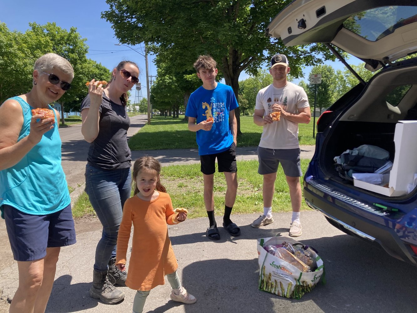
Charlie and Friend enjoying pizza with us prior to taking off.
Chelsea and granddaughter Pippa (4 years old) were there to see us off as well. It was part of the logistics of me getting there. It was fun to introduce the next generation to our trips. And we were excited to meet another member of the bio family. What we didn’t know was that Charlie did not know that Chelsea was related to him. The look on his face when he learned that the two of them were first cousins was priceless. He and the friend he had with him handled it well and we all became friends fast. Charlie kept in touch with us as we made our way across the canal and was there for us in Rotterdam when we get out of the canal. What we have learned on our journeys more than anything is that we are all connected to each other on this planet. On this trip there was a closer biological connection.
Day One: Bellamy Harbor Park in Rome Mile Marker 114.97 to Utica Historic Marina, Mile Marker 100.85 – June 1
We put in about 1 pm on June 1 at Mile Marker 114.97. Bellamy Harbor Park had a good dock and, with the help of the abovementioned team, we carted all the equipment from the car to the canoe and set sail. The timing worked for our first night to stay at this decommissioned lock. We were fortunate throughout the week to be able to stay along the river on grassy areas around the locks, often with the comfort of a portapotty and sometimes water. This first night did not disappoint. We pulled up to the shore and climbed the steep incline up to the mown grass. A walking/biking trail went right through the area. For most of the length of the canal one can find this trail closer or farther from the water. Here it was right where we were planning to camp with no cover. There was a family fishing and we asked if they thought it was safe to camp there. They pointed to another tent tucked further way along the trees. We took that to be a yes and set ourselves up against this concrete structure. We were thankfully not bothered by any passers-by on the trail. And, having slept on everything from flat rocks to mud to pebbles over the years, we were particularly thankful for that soft grass.
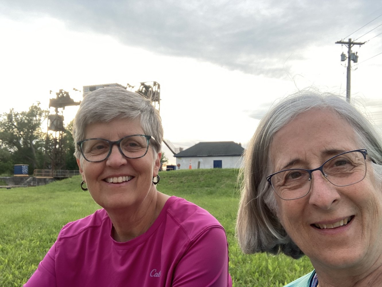
Our first night on the canal in Utica near the old lock that used to serve as the port of Utica.
Day Two: Utica Historic Marina to Little Falls, Mile Marker 80.10 – June 2
We set out at 6:45 am. We have learned that it is good for us to break down our camp and set out before we eat breakfast. We get a few miles under our canoe before we find a place to eat our eggs and crackers. The going seemed quite tough this year, but we think it’s that our aging bodies are … well, aging! Also, no current to help us. But we enjoyed the challenges, the beauty, the interesting places enough to make ourselves tired and sore! We found a beautiful tiny marina in Little Falls complete with showers and toilets: Little Falls Canal Harbor and Rotary Park. Thank you, Rotary Club of Little Falls. Sleeping on grass once again (a treat on any of our adventures), Maggie took to her tent as soon as she had some peanut butter and crackers. She was done in after the long day of paddling: 12 hours on the river. Karen had a little more stamina to catch up on Facebook posts. Lesson learned at this stop: if there is a key to the bathroom involved, make sure that both parties have access to it so as not to have to wake the other up in a moment of desperation. The park was too public to use Mother Nature!
We couldn’t get through the next lock until 7:30 or eight the next morning so we planned to take a leisurely walk to find a diner for breakfast before heading out. The photos below are from the bridge crossing the canal over to the quaint town of Little Falls. We thought this was going to be a different kind of trip. But we did not expect most of the wildlife would be in the form of people in yachts coming from the south back to the north to various ports and bays in the Great Lakes. Several are docked here this morning. They have great stories to tell.
Our new toy/tool this year – a marine radio. On the Ohio River we called the locks from our cell phone to let them know we were approaching. This year we brought a marine radio, and we are glad we did. The first lock master today didn’t answer the phone so we set the radio to channel 13, for the locks, and learned the lingo enough to let them know we were eastbound and wanted to lock through. As helpful as it was, it also caused some tension between us as Maggie liked to call the yachts to see where they had come from and where they were going. Sometimes Karen thought Maggie stayed on too long chatting as the radios are supposed to be used for navigation or emergencies. But we ended up learning that some boats were finishing year long trips, some coming from the Gulf of Mexico and others coming from the Carolinas. This was our first introduction to this kind of boating. Though we had been on bodies of water that connected major ports in the world to the interior of the United States in the past, most of the previous traffic we came into contact with on the big rivers was commercials. Some of the folks on those yachts were equally impressed with our journeys in our small boat.
This is the part of the river that skirts the dam.
This is the part of the river that is navigable. You can see why locks and dams are so important.
Little Falls is a cute old mill town that has turned factories into shops, as so many post-industrial towns and cities in the northeast have done. Crossing the bridge over the canal and the wilder Mohawk River gave us a different perspective than when we’re on the water.
Day 3 Little Falls to Canajoharie, River Mile 60.55 – June 3
After a good breakfast, we were on our way and through our next lock almost immediately. It was the first of four the day. That may have been an all-time high for us. The structure of the canal was very clear there with some of the high sides cut into rock and some made by building walls. Today brought a little current our way and made our 20-mile paddle easier and shorter. Weather was beautiful and hot, and the river scenery a bit different than the two previous days. We continue to run parallel to the interstate and to a double set of railroad tracks, so lots of traffic and train noise serenades us as we go. Nature sightings featured one bald eagle and lots of goose families.
Our day ended in Canajoharie which is another cute little mill town. Since we arrived around 5:45 we had plenty of time to find dinner in town at a taco joint called Taco 29, and to spot a restaurant for breakfast the next day. The restaurants along the way are among the highlights of our trips. We never know if and what we will find. A beautiful sunset and a walk across another bridge over the canal for Karen gave her an opportunity to capture a great sunset and finished things off well for the day.
We pitched camp in the Canajoharie Riverfront Park. We are always a little leery of being exposed to the public that may come down to the water at all times of the day or night, but we set up the tents a bit off the beaten track and felt safe. Some of the entertainment there included the fire department teaching some teenagers how to use the fire hoses. It was hot and, at first, we thought they were filling a portable container as a small swimming pool. And then the hoses came out.
Setting sun over Lock #4 at Canajoharie
Day 4 Canajoharie to Lock E12, Tribes Hill-Mile Marker 43.52-June 4
Trains, boats and automobiles. And lots of trucks! Canajoharie was perhaps the noisiest of camping places we found. Peaceful sleeping was not in the cards. The Erie Canal lies in the middle of a transportation corridor that is centuries old. In this era, the highway and the railroad carry the freight, the Canal is pretty much for recreational vessels. As we hear the constant high-speed traffic around us, we are reminded of the need to slow down, relax, stay in the moment. And that’s what we tried to do today. For the first time on a canoe trip, Karen didn’t check her watch and the maps to try and compute the speed we were traveling or think too much about what our daily destination would be. We decided to take it a bit easy and enjoy both the ride and the stops. We enjoyed at stop and rest of the offices of the Canal Corporation offices in Fonda where we ate our lunch.
Part of taking it easy was taking the time to visit an historic site along the way. We were going to be going right by the ruins of the Schoharie Aqueduct at the Schoharie Crossing State Historic Site at mile marker 43.90. We decided to take the time to walk inland a bit and explore the historic area. We were not disappointed. The aqueduct was a narrow part of the old canal that passed OVER the Schoharie River right near where it dumps in the Mohawk River/Erie Canal. The stonework was amazing and imagining water crossing water and carrying barges pulled by mules was not difficult. As well as ruins, we found many signs warning us of the dangers of ticks. Nasty little things but we were well prepared throughout the trip with repellent and spray for our tents and equipment as well. It was a bad year for ticks in New York State.
Another gorgeous day on the canal came to an end with enough firewood for a campfire. We enjoyed watching a young man skipping stones. And a land turtle visited our site!
Day 5 – June 5 – Lock E12 to Scotia/Rotterdam Mile Marker 24.04-June 5
Further down river we took a break on this hot day at the Amsterdam Riverlink Park. We walked over the pedestrian bridge with art installations and saw the local Peregrin falcon. We found a “famous” hot dog joint (Guge’s Dogs) and chatted with others along the away.
We finished the paddling part of our journey on June 5 at about 7:30 pm. A summary of our last day:
Three things characterized our day: fun nature sightings, a beautiful riverfront park, and headwinds. Ugh! We battled headwinds for much of the Ohio River, expected as we paddled toward prevailing winds. But we didn’t expect them on this trip paddling west to east. So, we were surprised and aggravated that most of the wind we experienced was in our faces. Oh well, we still made our 20-mile goal for the day and we are sure we’re stronger for it
June 6 – 90 miles later…
Met by Charlie who brought Karen’s car to us and John who came to fetch Maggie back to Vermont. Our initial goal was to try to get to Troy and to descend Waterford Flight on 5 locks, one right after the other, dropping down to the Hudson River. We would likely have needed at least another full day and, having learned over the years when to stop, we were happy to end safely in Scotia.
There is always the excuse that life is too crazy to keep me from catching up on my posts this year. But it is only an excuse. Truth is I watched too many crime shows on TV to escape the painful political scene that unfolded throughout the year. Though it was also simply a crazy year. It was thankfully also one that was interrupted in the pleasantest of ways by another water paddle with Karen.
For many reasons, we did not take the path we intended. Last year (2023), we explored the Upper Connecticut River Lakes, the headwaters of the Connecticut River which powered so much of New England’s industrial revolution. Today it still provides electricity and tourism and incredible scenery as it winds its way down the border of Vermont and New Hampshire, though Massachusetts and Connecticut, and into the Long Island Sound. I managed some posts of those adventures with our spouses before the end of 2023. It was our intention to paddle the whole length of the Connecticut River in one fell swoop in 2024. Now, we are hoping to do it next year, in part or in whole.
I’m cutting it pretty close as I have one more day to post some stories about our alternative route this year on the Erie Canal. This was a first for us. Getting in a river in the middle and getting out before it ended. Our story has been to start at the headwaters and end where a river pours into a new body of water.
River, you may ask. But we thought you went on the Erie Canal? Approved to be built in 1817 and completed in 1825, the original canal was 363 miles long and was carved out of much of the Mohawk River which still at times runs alongside the canal or merges with it. It is kind of a river and a canal at the same time.
The Mohawk River served as a transportation artery for the Seneca Nation long before Europeans like Hudson charted the territory. Dugout canoes were their vessels. With European colonization and expansion, The Erie Canal was a major artery for western expansion and development from Troy, NY, on the Hudson River, to Buffalo, NY, on Lake Erie. From Lake Erie the possibilities of commerce, travel, and expansion were nearly limitless even in an era of mules and barges and steamboats. It remains a major waterway, mostly for outdoor tourism, today. It is well maintained by a series of locks and dams and is run by the NYS Canal Corporation.
Why the Erie Canal? We picked it this year because it was easily accessed by both of us and seemed like it would require less effort. The latter was not necessarily the case, but our choice took us on an historical journey more robust that the ones we travelled on other rivers. The big rivers we have paddled have their share of history but on the Canal the history seemed more compact, and markers and information laid out by the Erie Canal Way National Heritage Corridor were packed with details that neither of us, having lived in New York State for a combined 70 years or so, knew.
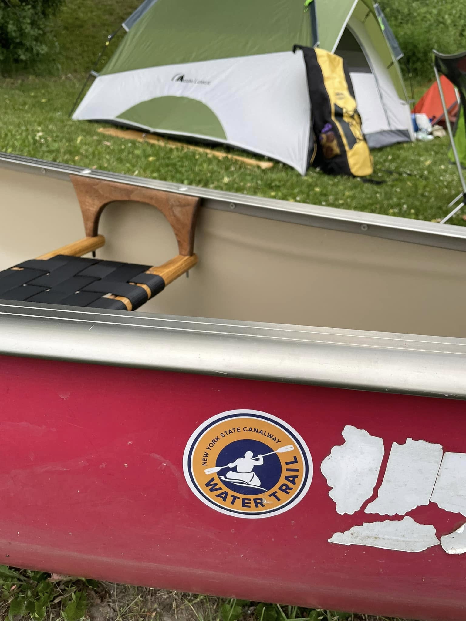
What was similar in our journey this year to our weeks of paddling the streams of Western New York, the Alleghany River, the Ohio River, and the Susquehanna River, is that wherever we went, the beauty was amazing. People were beautiful and kind and had interesting stories to tell. Kindness is sometimes experienced simply by another woman recognizing our desperate need to use a toilet and letting us into a clubroom that would normally have been locked to us. On all rivers, there is industry along with natural beauty but even the industrial scenes have their own beauty: the steel, the carefully laid carved rocks holding the sides of the canal up, the locks. Of course, we still find the natural beauty the most pleasing as we depart from our day to day lives each year to find a new adventure in our friend Wonder, the red canoe.
Tomorrow, I will share some details for our days on the canal and try to conclude this season by midnight so we can start planning 2025.