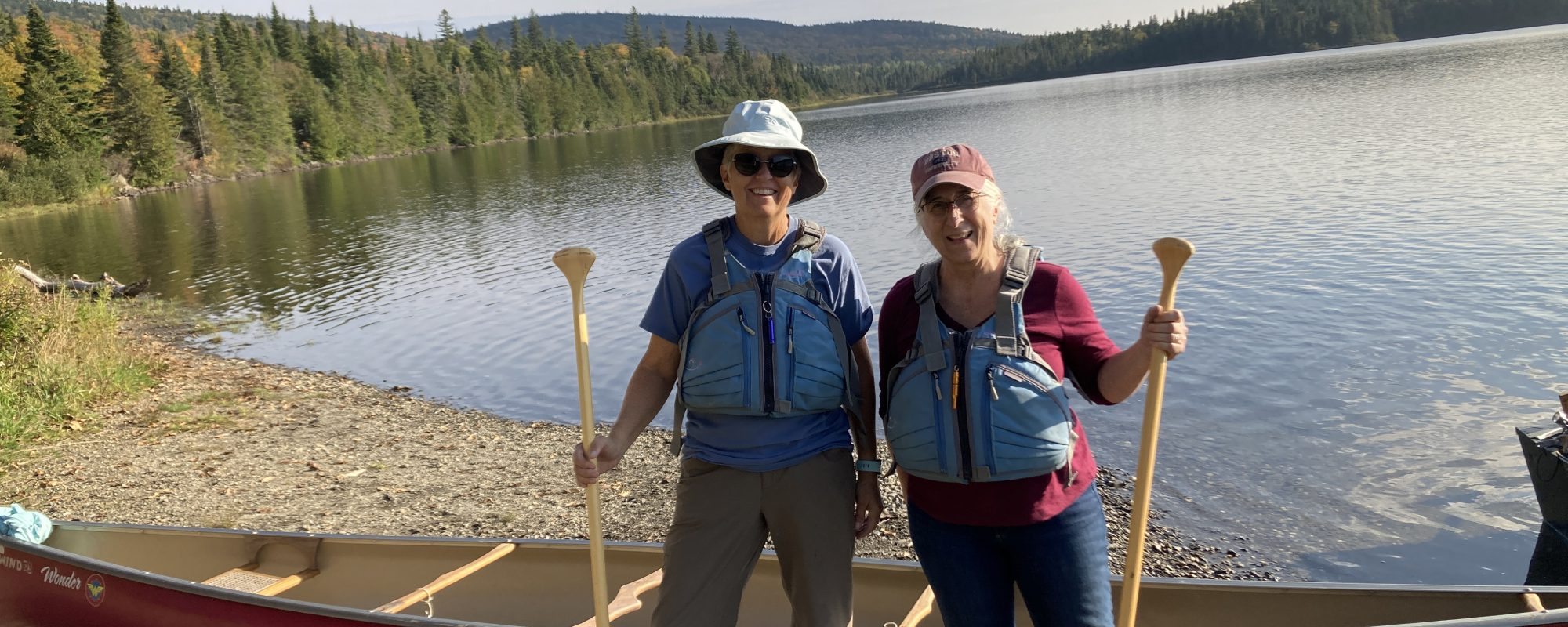
We are already thinking about our next river. In 2023 we hope to embark on our journey near the headwaters of the Connecticut River and “paddle through.” That means that we will do it all in one trip which may take us 3-4 weeks! In anticipation of this paddle, John and I did some reconnaissance in July 2021 and went in search of the headwaters in northern New Hampshire. It was really north, the bit of NH that juts up into Canada. We were wowed by the untamed beauty of that area which included the old time feeling of going on vacation before McDonald’s and Walmart signs spotted so much of our landscape. It was amazing.
To start with, I read up on how to get to the bog that is the headwaters and found this information from the Nature Conservancy:
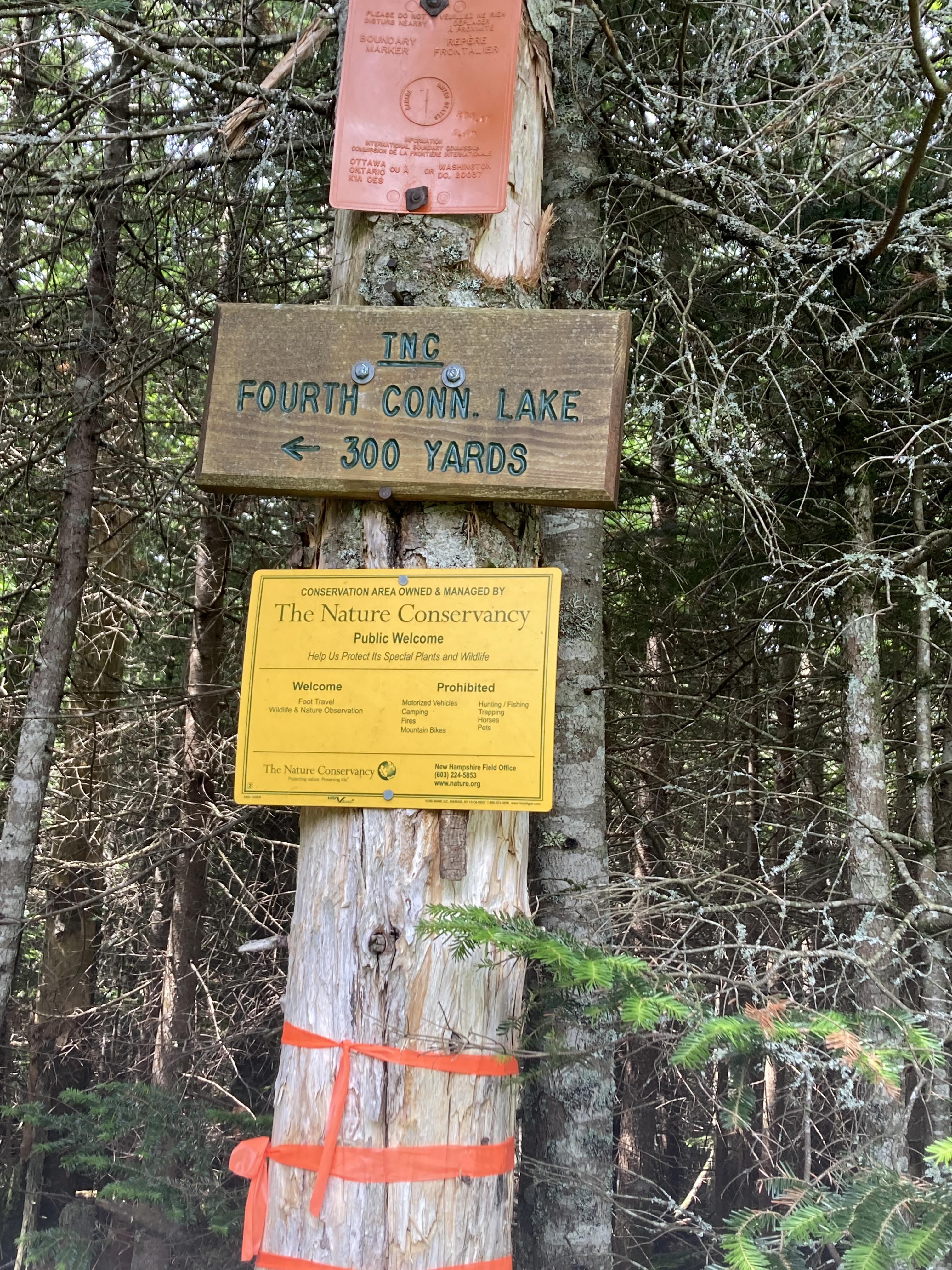
The Connecticut Lakes, unlike the lakes of New Hampshire’s Lakes Region, possess a wild, pristine beauty of their own, despite the fact that they are man-made. The central feature of the small region which makes up the very northernmost tip of our state, they are the source of the mighty Connecticut river. Three of the lakes can be seen while driving north on Route 3, and all are worth a short stop to admire their scenery. The fourth lake, located up on a hill on the Canadian border is not as well known because it is not visible from the road. This little marshy pond is the true source of the Connecticut River.
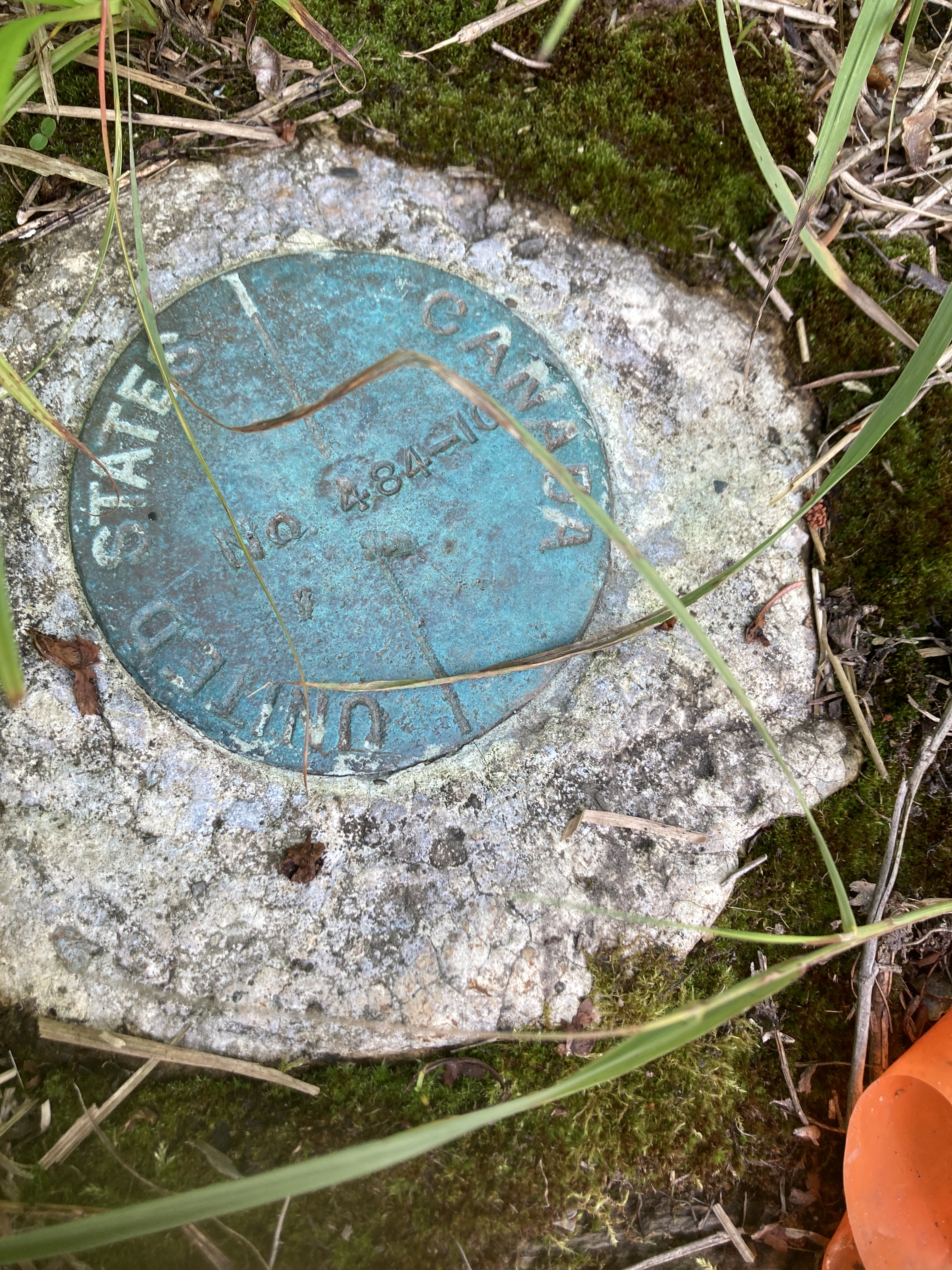
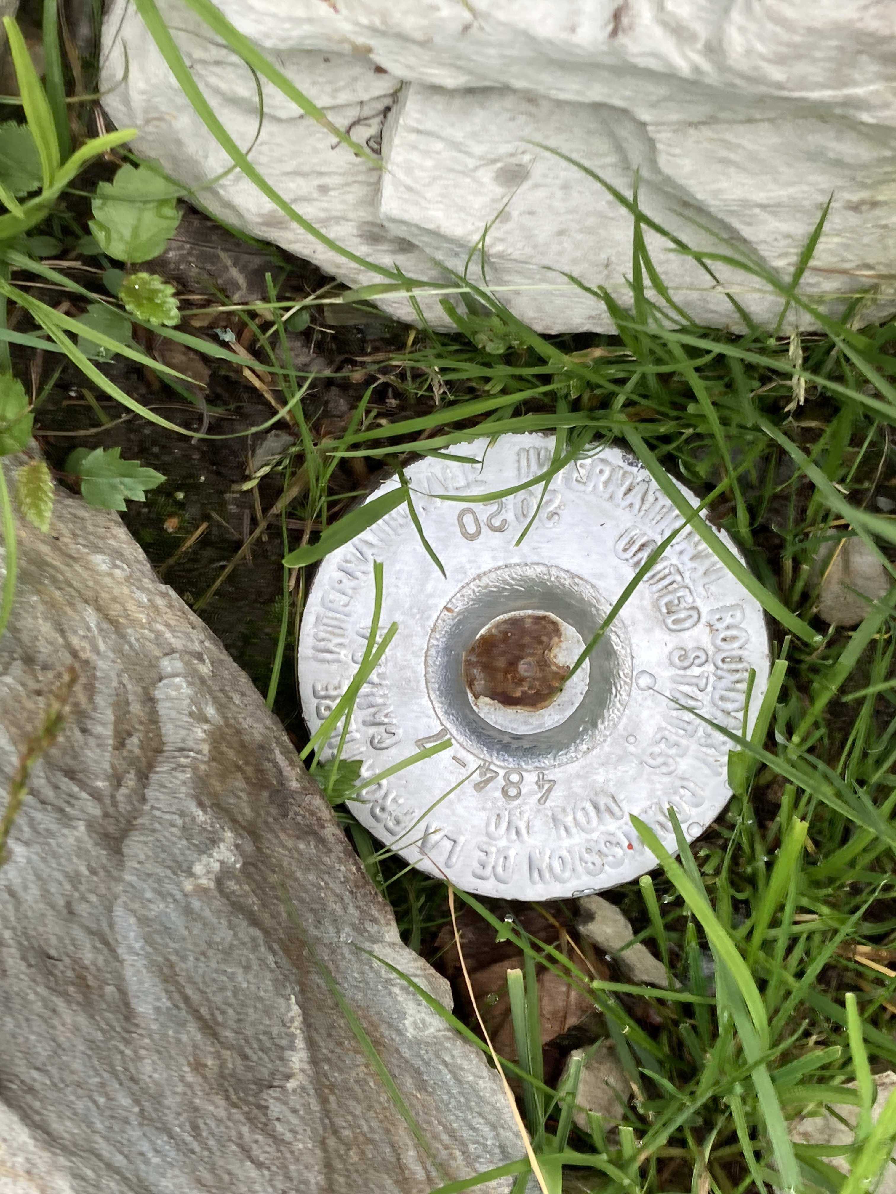
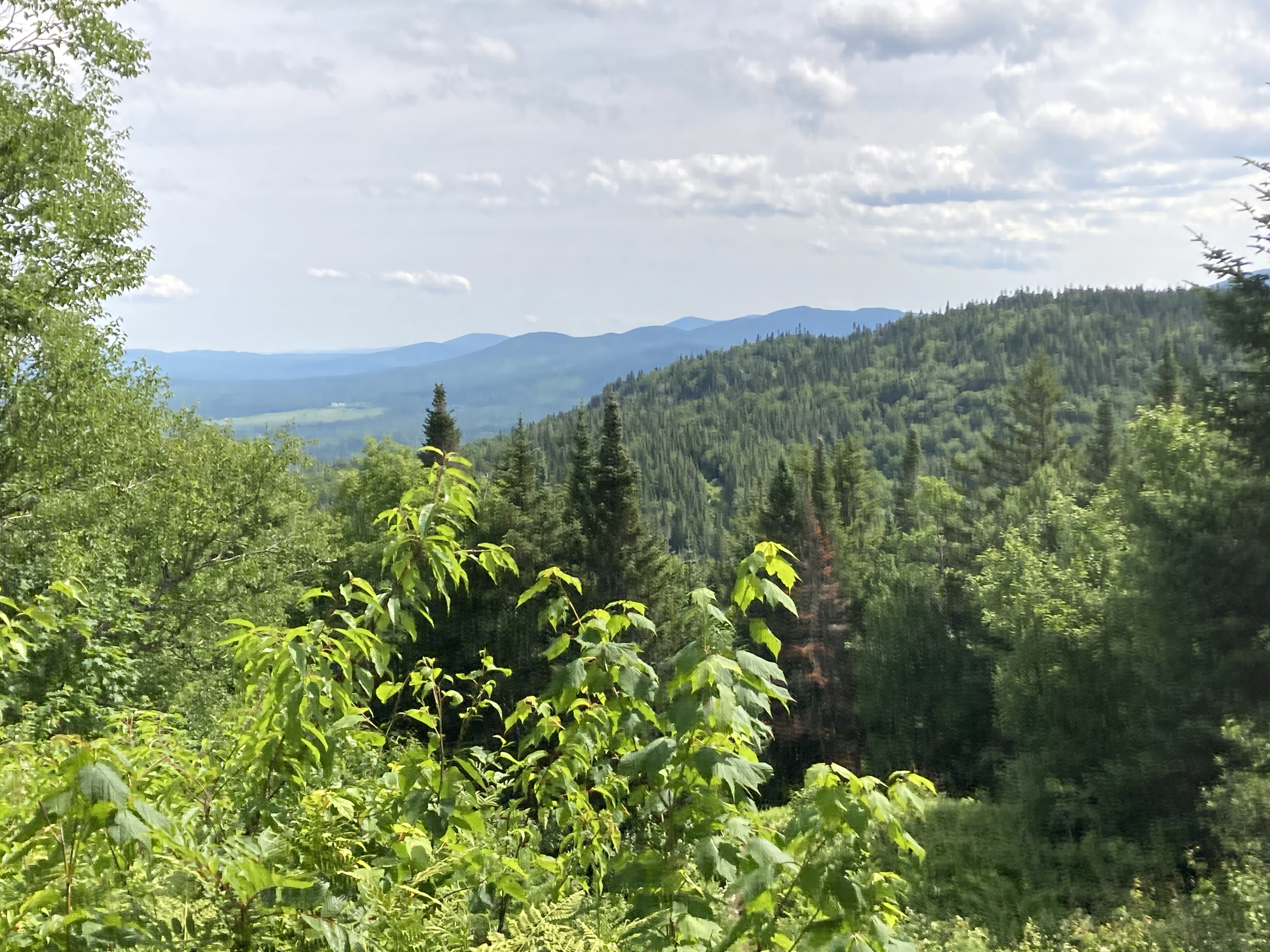
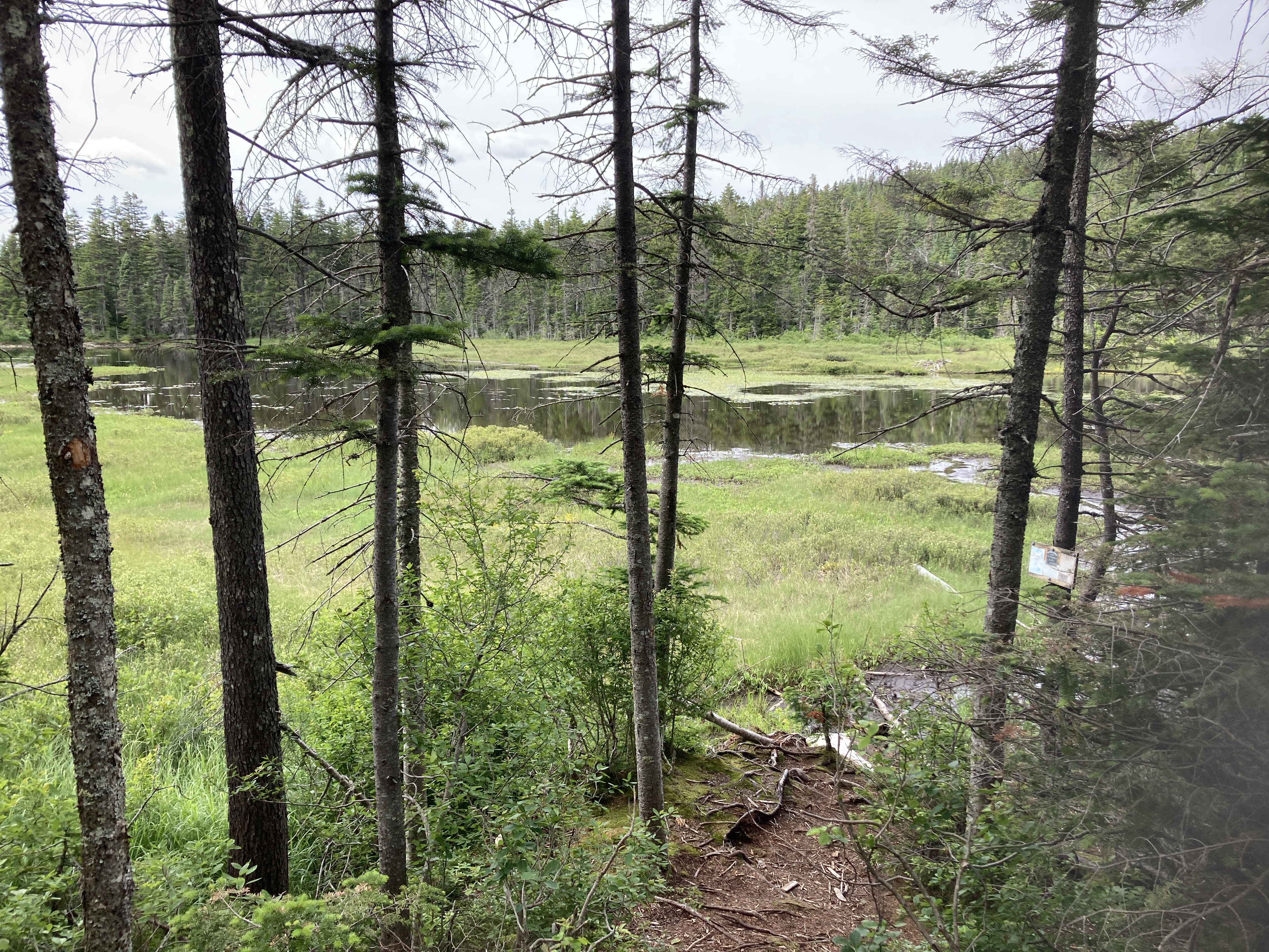
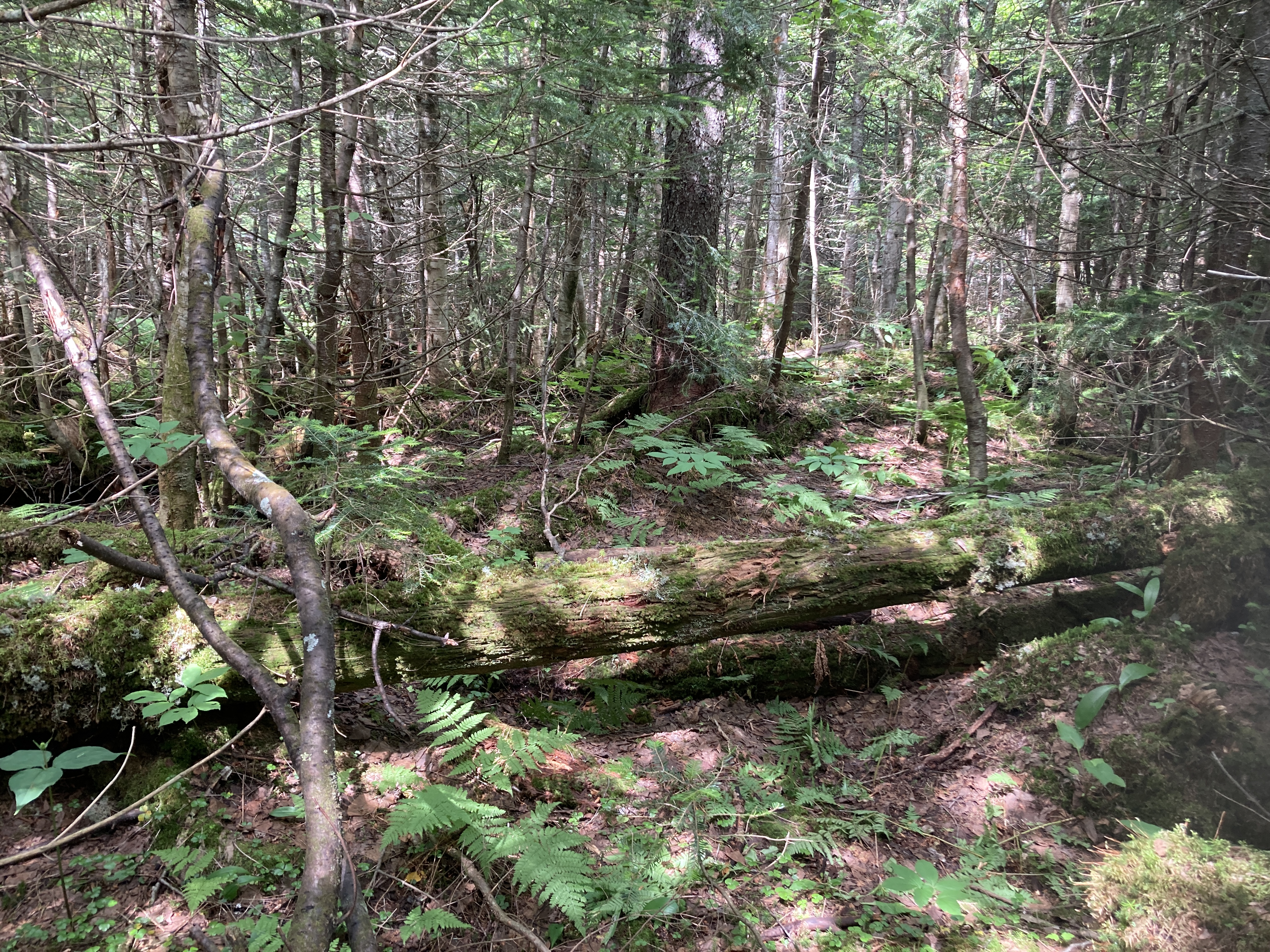
The area around the lake is owned by The Nature Conservancy, and is accessible via a short hiking trail, which begins at the border crossing station. To get to the trailhead, walk along the fence on the right side of the building, then head toward the large wooden border crossing sign. The small Nature Conservancy kiosk is just beyond that. The trail begins here and follows the boundary clearing up the side of Prospect Hill. This area is filled with small shrubs and ferns, and the path through it is somewhat narrow and muddy at almost all times of the year. The beginning of the trail is very steep. Just a short way up, you will encounter a small marker set in a rock. This is the first of many plates along the trail marking the US/Canada boundary. The trail continues to weave in and out of Canada as it goes up. As the trail begins to rise, you can look back and get a completely unique view of the Boundary Mountains. After 0.6 miles of climbing, the trail bears left out of the boundary clearing and heads into the woods. In the last 0.1 miles, the trail descends 50 feet through the forest. The lake soon comes into view and the trail splits into a loop at its shore. Here, the tranquility of the Great North Woods surrounds you as you gaze out over the water. Grasses and reeds blow with the breeze; you may even see a beaver. The view of the lake from this point is very nice, but you will experience much more by taking the 0.6-mile loop trail around the pond. The trail is muddy, but it has boardwalks over most of these areas. There are many viewpoints of the lake from the trail. At the south end of the lake, you will step over a small brook. This may be the most exciting part of the hike, as this tiny stream is actually the Connecticut River!
But don’t be fooled by the “short hiking trail” description. Yes, it is short…just over a mile up to the bog. But it is pretty much straight up with occasions where I was crawling over boulders. Round trip took me 1 hour 40 minutes. Just for comparison, I usually walk 3 miles an hour. It was a stunning hike, however, with incredible views of the mountains around. It was also a bit exciting to be hiking the closed border between Canada and the US. COVID restrictions were still in place but there was no one stopping the other three hikers and me from our quest that zigzagged us back and forth across the border marked by metal stamps set into concrete.

From the bog called Fourth Connecticut Lake, the stream flows to Third, Second, and First Connecticut Lakes and then into Lake Francis. Two of the lakes are created by human made dams. One, at least, functions as a hydro dam. Again, they are all gorgeous, hardly populated, and simple. The river between them is shallow and strewn with rocks and boulders and therefore not reasonable for us to manage in our canoe but I think that we could paddle the four major lakes just to say we did it, portage where we can, and then hop back on the river near Canaan, Vermont, where most through paddlers start. From there we will have 373 miles of the 410 miles from the headwater to paddle to the Long Island Sound.

The Connecticut River Conservancy has done a lot of work to educate people about the river and create a welcoming atmosphere including maps about boat ramps, portages, and camping sites. Click here for more information.
Meanwhile, it’s time to start planning our last leg of the Susquehanna River this summer. As I write, the winds are howling outside our Vermont home with a snow storm and wind chill temperatures significantly below 0° F on their way this weekend. But it won’t be long before we are back on the Susquehanna in Sunbury, heading to the Chesapeake Bay.
